CARTE MARINE IMRAY : THE INLAND WATERWAYS OF GREAT BRITAIN IMRAY
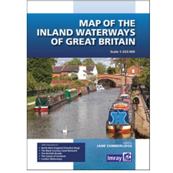
First published over 60 years ago when interest in reviving Britain’s network of navigable and rivers was starting to gather pace, this map provides the best coverage of the system in England, Wales and Scotland. Distances, the number of locks and restricting dimensions are given for each waterway. The simple cartography defines rivers, broad and narrow canals against generalized relief and the major road network.The 2016 edition has been updated to show progress in restoration schemes and other changes.
Prix habituel
€11,20
Prix habituel
Prix soldé
€11,20
Prix unitaire
par
Taxes incluses.
 Il en reste 2 en stock.
Impossible de charger la disponibilité du service de retrait
Retrait gratuit en magasin

Livraison gratuite à partir de 150€ d'achat

Retour sous 30 jours

Paiement sécurisé
Caractéristiques
Caractéristiques
Technologie / Composition
Technologie / Composition
Entretien
Entretien